

|
The Project
|
August 24, 2005
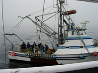
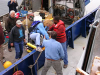
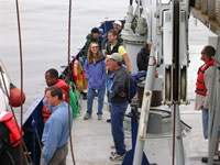
Using a Compass When at sea or traveling in wilderness areas there are no road signs, it is important to keep track of your location and the direction that you are headed. Each day on the New Horizon the captain and mates keep a close watch on where the ship is and its direction. Each person on watch records this information on the record sheets at regular intervals. Yesterday the research vessel the New Horizon was required to rendezvous (meet) with a smaller research vessel, the Shana Rae. The day was very foggy; visibility was down to about a half mile. Radio calls were made to determine the exact time of rendezvous. Each ship uses the Global Positioning System (GPS) to know its location at all times. The New Horizon can keep track of Shana Rae by using a radar scanner. Looking out from the bow (front) of the boat all that was seen was gray fog but we knew the boat was headed our direction because of the radar screen that showed an oncoming vessel. The boat was spotted and soon the Shana Rae was along side the New Horizon. Joan Cleveland and Jim Eckman from the Office of Naval Research (the federal agency that is paying for this project) came aboard to meet with the science team and the crew. Joan and Jim stayed for several hours while they observed the operation of the various data collection devices. At 4:30 the Shana Rae returned to pick up our guests and return them to Santa Cruz harbor. A map and compass are essential tools for locating a thing or place if there are no road signs and clear directions. On land, in unmarked territory, a map of the area and a compass can keep you on course to a destination or they can help you determine your location if you are lost. Practice with using compass direction with a little math.
What is the degree measure of west? If you have access to a compass, practice lining up the north arrow with north on the compass. The floating north arrow will always point to the north because of the magnetic field of the earth.
|


